

Tracking Drones Using 5G Network Technology near Cell Towers
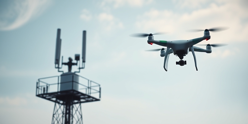
Drone Detection via 5G Tower Sensing Data
A team of researchers from the University of Science and Technology of China has successfully developed a system, dubbed BSense, that leverages the sensing capabilities of existing 5G Advanced (5G-A) base stations to detect drones.
No Need for Dedicated Radar Installations
This innovative approach eliminates the need for dedicated radar installations, which are typically cost-prohibitive, and overcomes the limitations of traditional camera-based systems.
BSense System Utilizes ISAC Functionality
The BSense system utilizes the 5G-A base station’s Integrated Sensing and Communication (ISAC) functionality, which produces point clouds of the surrounding environment.
“The BSense system leverages the ISAC functionality to produce accurate point clouds, which enables us to accurately track drones in real-time,” said Dr. [Name], lead researcher on the project.
Three-Stage Process to Filter Out Noise
To filter out the noise and identify actual drones, the system employs a three-stage process:
-
First Stage: Modeling Noise as Multivariate Gaussian Distribution
-
Second Stage: Motion-Based Checks
-
Third Stage: TrajFormer Classification
The first stage involves modeling the noise as a multivariate Gaussian distribution within a 40-meter cubic grid, allowing for efficient removal of points that match the local noise signature.
The second stage applies motion-based checks, verifying that real drones exhibit continuous movement and matching Doppler velocities between consecutive frames.
The third stage uses a lightweight Transformer-based neural network, TrajFormer, to classify entire trajectories based on learned motion patterns across multiple frames.
High Accuracy and Robustness
During extensive testing, the BSense system demonstrated impressive accuracy, tracking drones with precision above 96% across various flight paths, including figure-eights, star patterns, and straight-line passes at different angles.
Potential Limitations
However, the researchers noted some limitations, such as occasional gaps in the detected trajectory caused by signal occlusion by tall buildings and tangential flight directions, and increased mean localization error with range.
Implications for Airspace Security
The BSense system has significant implications for airspace security, as it harnesses the existing 5G-A base station infrastructure to create a passive sensor network covering urban airspace.
Potential Applications Beyond Drone Detection
This development raises questions about the potential applications and governance of these sensing capabilities, which could extend beyond drone detection to include surveillance and monitoring of other aerial objects.
Conclusion
Overall, the successful implementation of BSense showcases the potential of leveraging sensing data from 5G-A base stations for drone detection, demonstrating a promising solution for enhancing airspace security while minimizing the need for additional hardware installations.

About Author









 English